Nu 20% korting op bijna alles
- Verzending vanuit NL ± 3 werkdagen
- Verzending slechts € 7,95 (BE)
Fietskaart Uk Cycleroute Planner
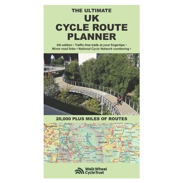
Uk Cycle Route Planner
Speciale prijs
€ 13,52
Normale prijs
€ 16,90
-
Lang leve de specialist
Alles wat wij doen en verkopen is fietsvakantie-gerelateerd.
-
Fietsen maakt het hoofd leeg en het hart open
Even niet presteren. Beginnen, en de rest komt vanzelf op je af.
-
Eenvoudig gelukkig is gelukkig eenvoudig
Misschien wel de grootste rijkdom van een fietsvakantie.
Productomschrijving
Video Product
Productomschrijving
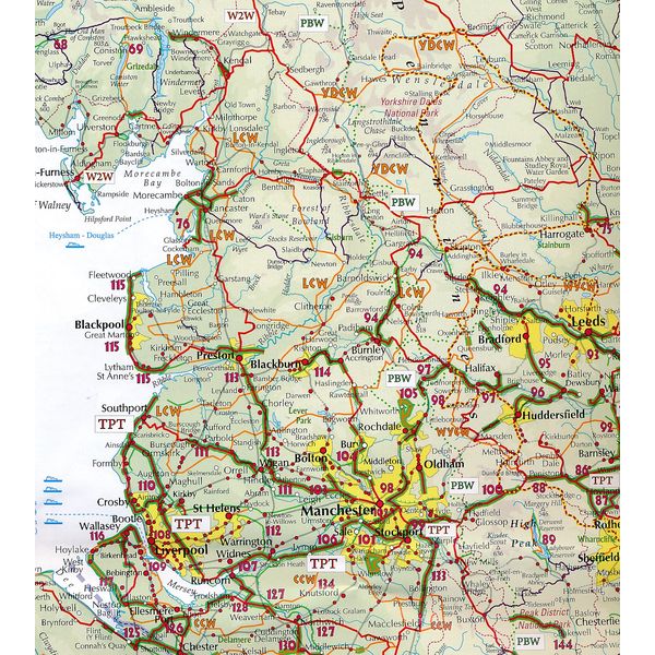
UK Cycle Route Planner - Overzicht van bewegwijzerde routes in de UK
Alle fietsroutes van de UK in één overzicht, een prima overzichtskaart om een fietsroute in het Verenigd Koninkrijk te gaan plannen.
Schaal: 1:600.000
Grootte: 13x22,5 cm gevouwen, 86x180 cm ongevouwen
Editie, 2025
Fully updated and revised 5th edition for 2025. Published by Richard Peace Cycling in collaboration with Walk Wheel Cycle Trust (formerly Sustrans). One of the best selling UK cycle publications, giving an overview of all the main signed UK cycle routes (and also major unsigned ones) - the only publication that has all these together on one single map.
Clear design means it is easy to identify the many different kinds of cycle route, from canal towpaths to newer bikepacking and long-distance off-road trails such as the Wolf Way and the Marcher Castles Way. National Cycle Network route numbers are clearly shown, corresponding with route signage on the ground. Other routes include regional routes such as county cycle ways and those National Trails on which bikes are allowed such as the Pennine Bridleway and the Ridgeway.
Many hundreds of miles of minor road routes are also shown and links to signed cross-channel routes such as the Avenue Verte (London-Paris) are shown so that long distance route planning is also made easy. A bespoke key makes the map easy to understand at a glance. The UK's rail network and its myriad of stations is detailed, showing where and how cyclists can combine bike and train to get access to the country's best cycling. As the scale of the map makes it suitable for planning rather than navigation, full details are given of where you can get larger scale maps of popular rides, such as the C2C, the Devon Coast to Coast and the Way of the Roses.
More than 300 traffic-free rides are listed and mapped
Hoofdkenmerken op een rij
| Schaal | 1:600.000 |
|---|---|
| Jaar van uitgave | 2025 |
| Artikelnummer | 430806 |
| EAN / ISBN | 9781901464436 |
Reviews 1
Schrijf uw eigen review