ITM Mexico: Baja California
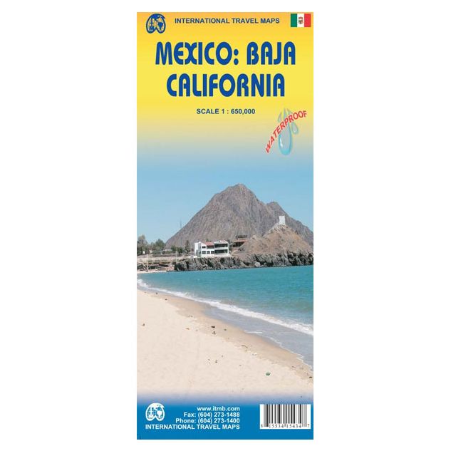
ITM Mexico: Baja California !
-
Lang leve de specialist
Alles wat wij doen en verkopen is fietsvakantie-gerelateerd.
-
Fietsen maakt het hoofd leeg en het hart open
Even niet presteren. Beginnen, en de rest komt vanzelf op je af.
-
Eenvoudig gelukkig is gelukkig eenvoudig
Misschien wel de grootste rijkdom van een fietsvakantie.
Productomschrijving
Productomschrijving
ITM Mexico - Baja California - 1:650.000
Als er voor een land of streek helemaal geen kaart meer te vinden is om te fietsen dan hebben we gelukkig altijd nog de ITM-kaarten (International Travel Map). De schaal lijkt voor de fietser te grof, er kan echter goed mee gefietst worden. Meer wegen dan op de kaart staan zijn er meestal gewoonweg niet, zelfs de dirt-roads zijn meestal nog terug te vinden. Veel kaarten zijn inmiddels waterbestendig. Hoogte wordt aangegeven middels kleurvlakken.
Over de kaart van Baja California
The long peninsula on the north-western edge of Mexico (the ‘lost’ province of Alta California being the temporary possession of that country to the north) is a favourite travel destination for visitors from all over the world, whether they be day-trippers crossing into Tijuana, RVers headed for the Gulf, 4x4ers wanting to explore the dreaded Viscaino Desert, or intrepid explorers wanting to experience a part of Mexico that has always prided itself as being a little ‘different’. I remember the first time Kevin Healey and I visited the peninsula in 1988. He couldn’t handle the spicy food, and we had to beat a retreat to the north after three days, but he produced the definitive Baja map two months later. This digitized, double-sided map is based on his efforts, but has been updated several times since his death, and Lan and I love going to Baja to research updating material. We hardly ever find anything, but we have a wonderful time doing it! Baja is the ideal ‘get-away-from-it-all atmosphere – very little traffic, gorgeous beaches, historic towns and mission sites, great food, fishing, and snorkeling – and a map to die for. Double-sided, waterproof.
Legend Includes:
Roads by classification, international and domestic airports and airstrips, border crossings, gas/filling stations, sea ports, hotels, camping sites, archaeological sites, post offices, libraries, waterfalls, beaches, cave paintings and petroglyphs, wells or springs, volcanos, whale watching, mines and quarries, surfing, kayaking, museums, scenic viewpoints, points of interests, lighthouses, swamps, and other information
Hoofdkenmerken op een rij
| Schaal | 1:650.000 |
|---|---|
| Taal | Engels |
| Uitgever | itm |
| Jaar van uitgave | 2010 |
| Artikelnummer | 457856 |
| EAN / ISBN | 9781553415435 |