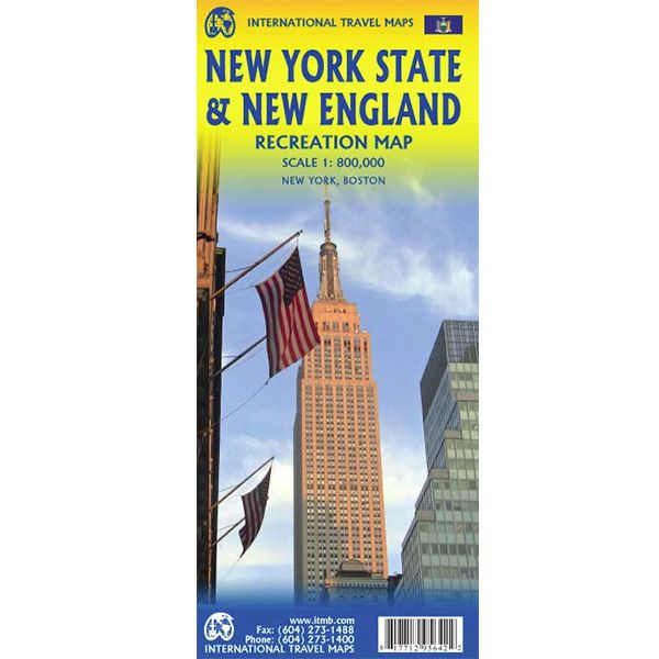
ITM New York State & New England
ITM New York State & New England
-
Lang leve de specialist
Alles wat wij doen en verkopen is fietsvakantie-gerelateerd.
-
Fietsen maakt het hoofd leeg en het hart open
Even niet presteren. Beginnen, en de rest komt vanzelf op je af.
-
Eenvoudig gelukkig is gelukkig eenvoudig
Misschien wel de grootste rijkdom van een fietsvakantie.
Productomschrijving
Video Product
Productomschrijving
ITM VS - New York State & New England - 1:800.000
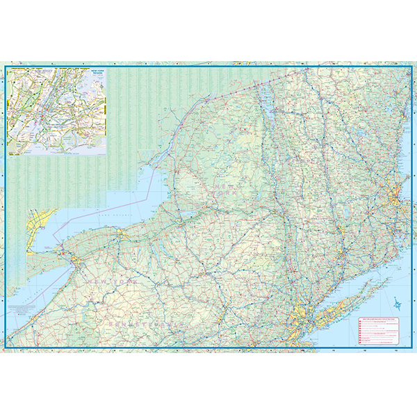
Als er voor een land of streek helemaal geen kaart meer te vinden is om te fietsen dan hebben we gelukkig altijd nog de ITM-kaarten (International Travel Map). De schaal lijkt voor de fietser te grof, er kan echter goed mee gefietst worden. Meer wegen dan op de kaart staan zijn er meestal gewoonweg niet, zelfs de dirt-roads zijn meestal nog terug te vinden. Veel kaarten zijn inmiddels waterbestendig. Hoogte wordt aangegeven middels kleurvlakken.
Over de kaart van VS - New York State & New England
ITMB expands its coverage of the USA with a detailed map of New York State and New England on a double-sided map at a very detailed scale. The one side covers most of the state and the southern portion of the New England states, along with an inset map of the greater NYC area, the other side covers from Boston and Cape cod to the northern extremes of Maine and west into Vermont, with inset maps of Boston and Boston Region. The reality of mapping the USA is that it is too large a country and too populous to be mapped in detail except by regions. As a sophisticated economy, it has thousands of towns and an intensive road/rail network. Most American mapping companies took the easy route and mapped one state at a time. As some states are relatively small, this resulted in a visitor needing to acquire dozens of maps to cover the extent of their visit. Our approach is to map the USA in logical regions. Eventually, all of the USA will be mapped; this map is a giant step forward in providing sensible mapping for a great country to visit.
Legend Includes:
Roads by classification, Railways, Attractions, Hotels, Point of interest, Airports, Tourist information, Hospitals, Shopping centre, Native American Reserve, River, ferry, and much more.
Hoofdkenmerken op een rij
| Schaal | 1:800.000 |
|---|---|
| Taal | Engels |
| Uitgever | itm |
| Jaar van uitgave | 2017 |
| Artikelnummer | 702617 |
| EAN / ISBN | 9781771295642 |